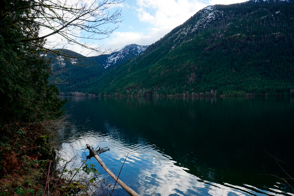
Fjord-like Taylor Arm is the most westerly part of Sproat Lake. The Taylor River flows into the western end of Taylor Arm, creating a small delta. It’s a rustic setting of second-growth forest, more-recently logged areas, riverine gravel bars and riparian habitat.

© Daryl Henderson
From the Visitor Info Centre in Port Alberni, take Hwy 4 west for ~37 km. At several points along Hwy 4 you will see Taylor Arm on your left, and you will also pass Taylor Arm Provincial Park. Past the end of the lake, the highway descends slightly into an open area. A large yellow sign asking “Was your campfire completely out? Report wildfires” is located immediately before your turnoff, which is on the left; however, if traffic is heavy, turn R into the pullout area instead and then cross the highway when all is clear. Turn L onto the gravel road and follow it for ~0.9 km to where it becomes impassable by vehicles (because of a large ditch). The road is rough (with potholes) but level and okay for most 2WD vehicles. On the other side of the ditch, the gravel road continues to Taylor Arm, where there is a rough campsite and boat launch used mainly by fishermen and other locals (vehicle access to the campsite is via another entrance farther east on Hwy 4, but a truck or high-clearance SUV is required). Birding can be good anywhere along the gravel road and lakeside, depending on the season. A spotting scope is recommended for viewing birds on Taylor Arm itself.
